
Riparian

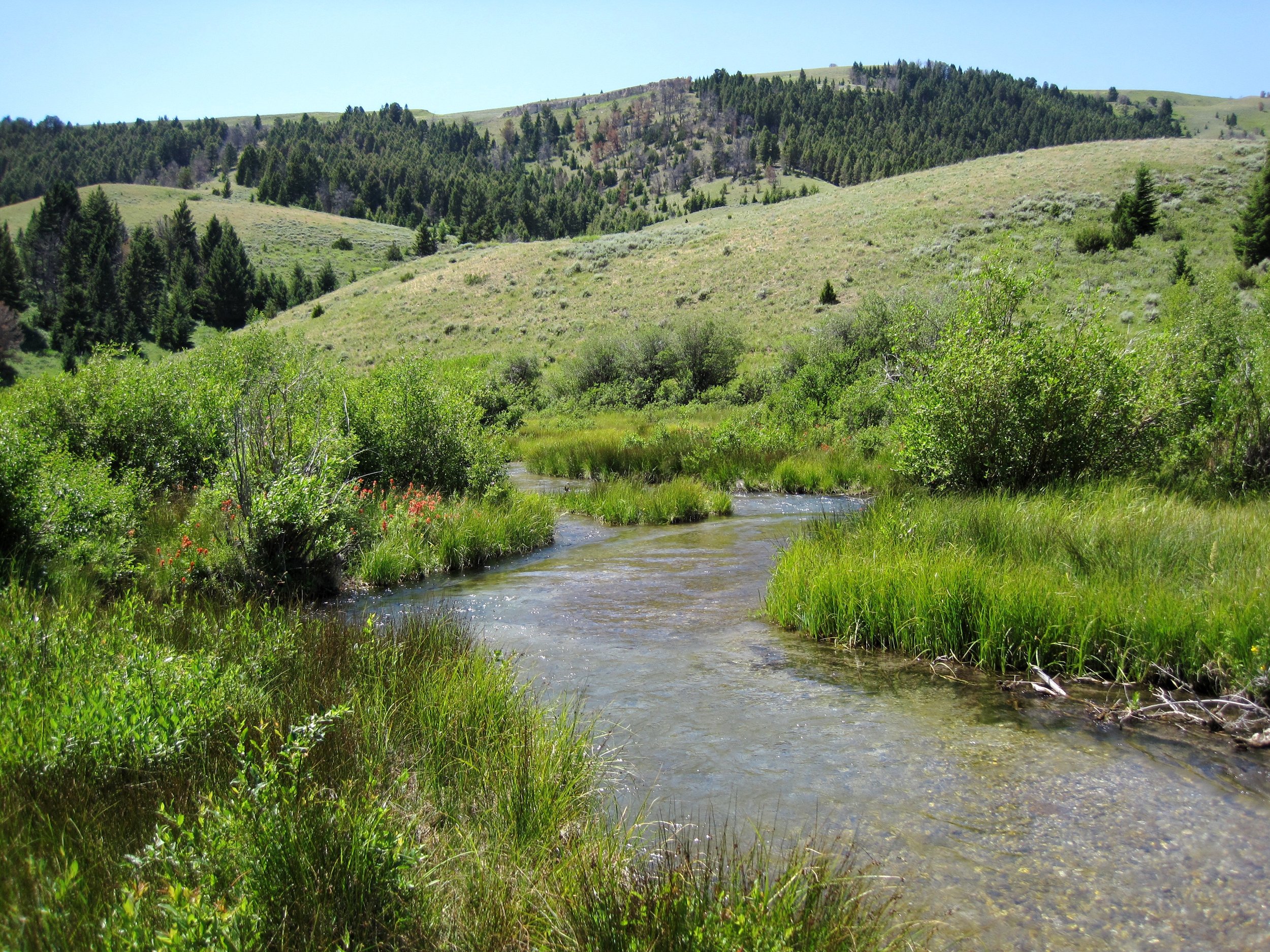
Warm Springs Creek, Garrity Mountain Wildlife Management Area, Montana. Photo by Torrey Ritter.
RIPARIAN Refugia
Riparian areas are lands that border bodies of water. Their proximity to water and the biodiversity created by vegetation and diverse landscape features make them important habitats for many species. Subsequently, these areas are becoming increasingly important in conservation efforts and are being considered as climate change refugia.
Ledford Creek, Robb-Ledford Wildlife Management Area, Montana. Photo by Torrey Ritter.
The U.S. Geological Survey (USGS) met with wildlife managers from 7 states in the North Central USA in 2021 and 2022 to learn what information was most needed to help integrate climate-informed planning in State Wildlife Action Plans. All states identified climate change refugia mapping as a top priority and selected riparian areas as the most important landscape feature to obtain vulnerability and resilience information (Szcodronski et al., 2024). Riparian refugia is a conservation priority due to water scarcity in the West and because over 80% of species in the western United States utilize riparian areas (Szcodronski et al., 2024). Based on feedback from the states, Kimberly Szcodronski (previously: ecologist, USGS Northern Rocky Mountain Science Center; currently: State Wildlife Action Plan Coordinator, Montana Fish, Wildlife and Parks), Blake Hossack (research zoologist, USGS Northern Rocky Mountain Science Center), and Sarah Burton (data scientist, USGS National Climate Adaptation Science Center) identified and mapped climate change refugia for riparian areas in 8 states including Montana, Idaho, Wyoming, Colorado, North Dakota, South Dakota, Nebraska, and Kansas (Figure 1).
Caption: Figure 1. “No regrets” maps of the highest-ranked indices of riparian refugia across both climate scenarios (CNRM-CM5 and IPSL-CM5A-MR) for the mid-century (2040–2069) and late century (2070–2099), compared to historical climate conditions (1971–2000). Suitability indices could range from 4 to 20, with higher values reflecting greater expected climate resilience. Note that the range of realized index values differed among time periods and thus maps. (Szcodronski et al., 2024 Figure 3) .
USGS researchers mapped riparian refugia using connected riparian habitats that were expected to serve as climate refugia based on landscape diversity and climate variables (Szcodronski et al., 2024). Riparian refugia data was developed from 2 landscape variables that represent where existing riparian areas may be more resilient to climatic changes (riparian connectedness and landscape diversity) and 2 climate variables that reflect projected exposure to climate change (change in runoff and increase in warm days). Riparian connectedness data were created from the LANDFIRE vegetation dataset (LANDFIRE 2020) and the U.S. Forest Service national riparian areas base map (Abood et al., 2022), landscape diversity data were downloaded from The Nature Conservancy, runoff data were derived from the USGS Monthly Water Balance Model (Alder and Hostetler 2021), and temperature data were derived from the Climate Futures Toolbox.

Little Wapiti Creek, Montana. Photo by Torrey Ritter.
The index of riparian refugia and the data input layers are publicly available to view on the ArcGIS Online Riparian Climate Refugia Dashboard. The spatial data and metadata for the riparian refugia index and the input variables are also available to download on the USGS ScienceBase Riparian Refugia Data Release.
Though recognized for their crucial role in ecosystem function and conservation, riparian refugia are not often incorporated into climate adaptation planning. This research will help conservation managers identify riparian refugia and work to protect and restore these areas, now and into the future.
Products
Szcodronski, K.E., I.T. Bannister, B.R. Hossack, and A.A. Wade. 2022. Integrating climate-informed planning into State Wildlife Action Plans in the North Central United States. Cooperator Report, U.S. Geological Survey North Central Climate Adaptation Science Center. https://doi.org/10.21429/a2et-te45
Szcodronski, K.E., A.A. Wade, S.E. Burton, and B.R. Hossack. 2024. Incorporating projected climate conditions to map future riparian refugia. Conservation Science and Practice, 6, e13183. https://doi.org/10.1111/csp2.13183